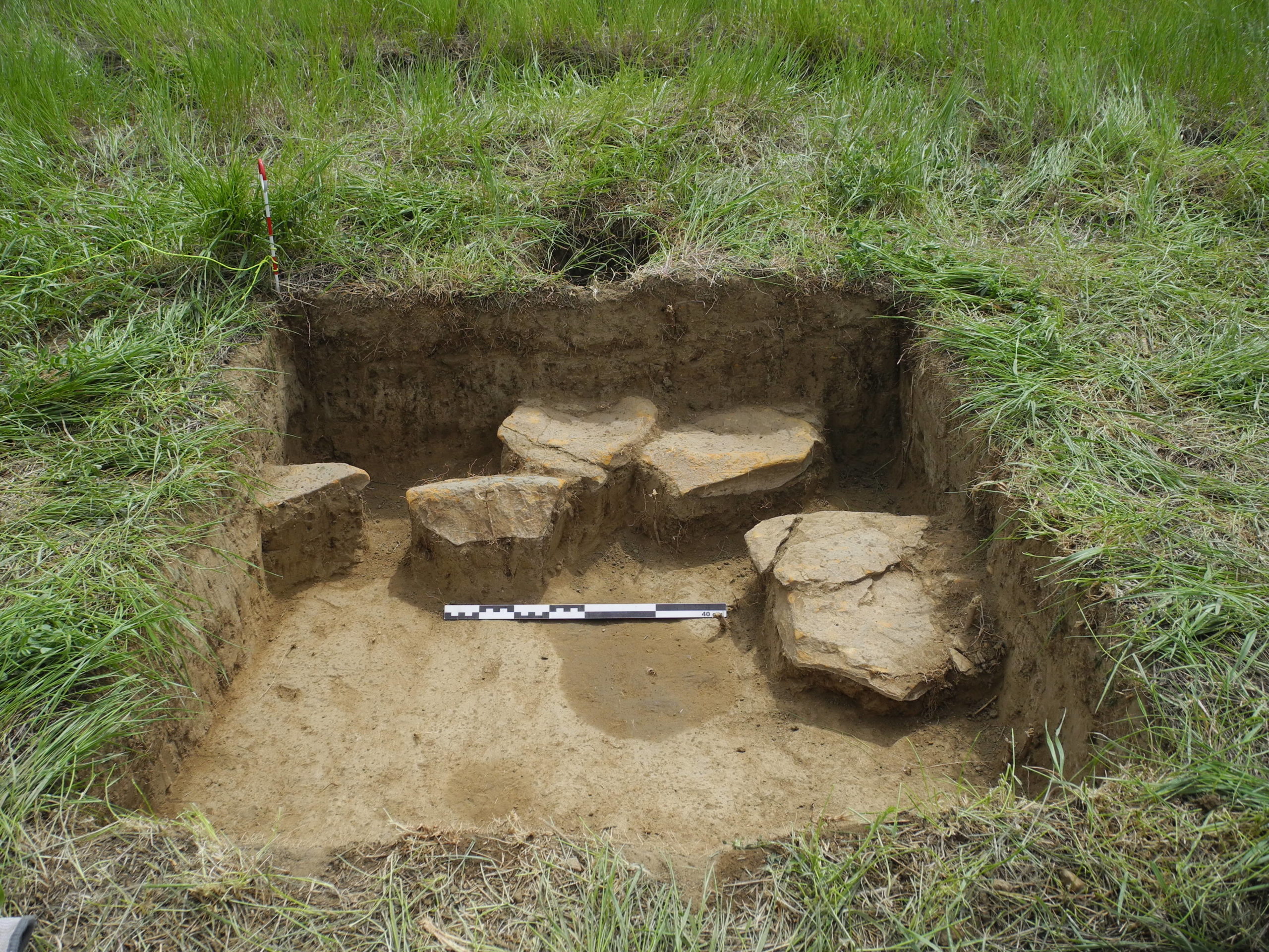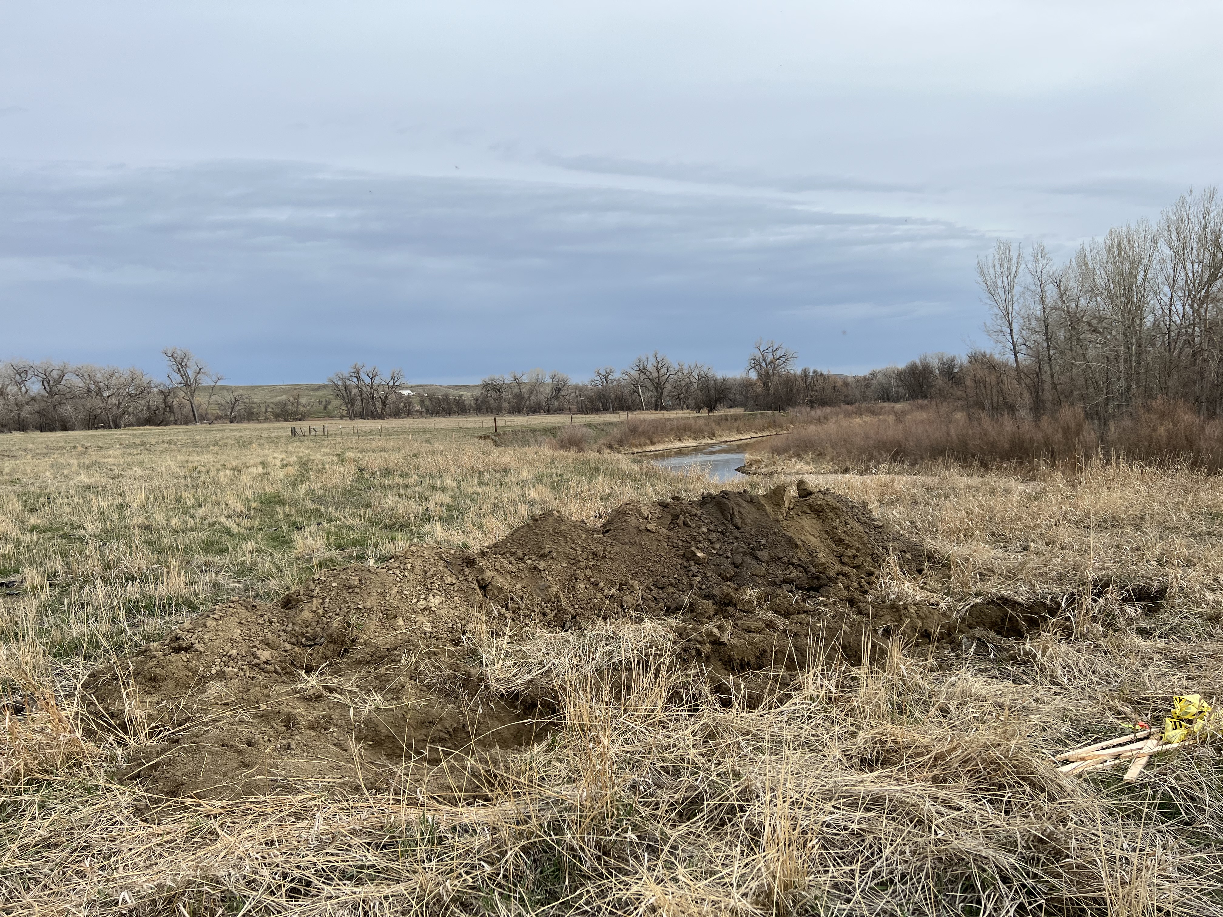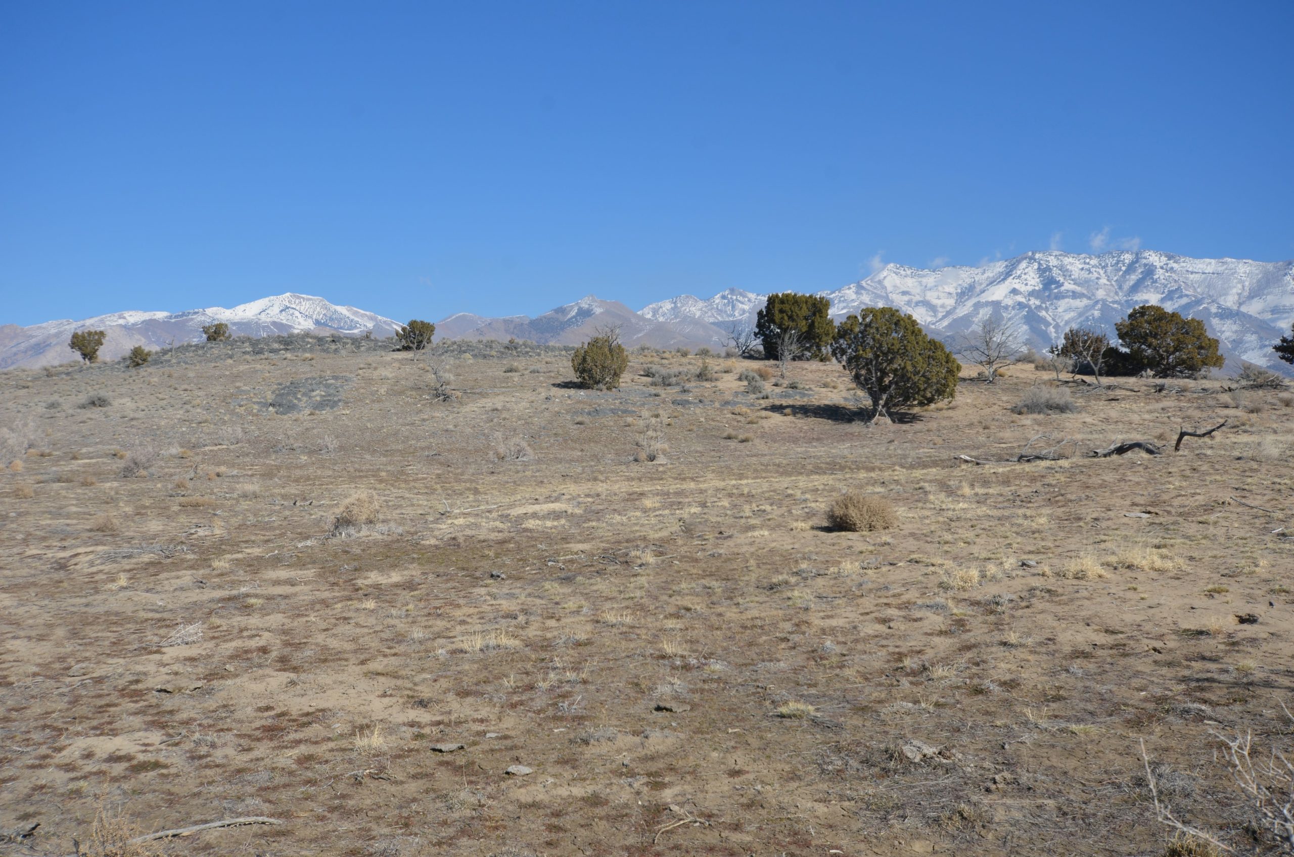
Cannon Heritage Consultants partnered with the Bureau of Land Management, Buffalo, Wyoming Field Office on a remote sensing project at Welch Ranch Recreation Area in Sheridan County, Wyoming. CHC conducted 15 acres of subsurface mapping using a magnetic gradiometer to identify buried archaeological deposits and excavated a handful of discovered features. In addition, CHC conducted backhoe trenching and geoarchaeological research to create a predictive archaeological model for the river terrace complex along the Tongue River. This project is in preparation for eventual bank stabilization and ecological restoration efforts by the BLM.


